
There are all kinds of games, simulations and events that kids get to experience on devices. We looked at a simulation of the oil spill on the Ipad.

Sometimes you think you know all of the answers. I have often worked with kids outside in big spaces. Purposing work in an outdoor lab I never got the connection about electronic orientation. Those girls and boys who worked with me can remember the fun we had at the Outdoor Lab.
Today in Russian I got the feeling that I could have, with some equipment, prepared kids for a future in STEM or STEAM by adding Esri , What is GIS after teaching orienteering.

First let’s look at orienteering.
From Wikipedia, the free encyclopedia
“Orienteering is a family of sports that requires navigational skills using a map and compass to navigate from point to point in diverse and usually unfamiliar terrain, and normally moving at speed. Participants are given a topographical map, usually a specially prepared orienteering map, which they use to find control points.[1] Originally a training exercise in land navigation for military officers, orienteering has developed many variations. Among these, the oldest and the most popular is foot orienteering. For the purposes of this article, foot orienteering serves as a point of departure for discussion of all other variations, but basically any sport that involves racing against a clock and requires navigation using a map is a type of orienteering.”
We know where we are with technology, our phones, our computers and hand held devices. I Think to gain skills that
we should involve more hands on. This training here in Samara is a year long project with two main events for the students, and sometimes an event for disabled people which is done differently. The students go to the Cacausus Mountains and camp out to do the event. It is done by boys and girls and the coaches and volunteers are men and women and
http://www.catchingfeatures.com/ is where you learn.
The game?
Catching Features is an orienteering game you can play at home. Use it for rainy-day training or rest-day enjoyment. Several different modes of play are available. Individual courses are run with interval starts against computer opponents, or with a mass start against lots of them. Relay events allow you to run one leg of a forked relay course.
Each course you run will earn you a number of ranking points based on the other runners that day. By earning more points you can unlock additional events to run.
Internet play allows for races against human opponents all over the world in real time. Race against your friends in a virtual competition! And you thought you didn’t have anything to do at work…
Can’t coordinate a multiplayer game against anyone else, but still want to compare times? Competitions mode allows you to download and run a race whenever you can, then your splits and route choice are automatically uploaded to the CF server for everyone to see and compare!
A random map generator lets you create an endless supply of maps and courses to run on. You can run on a different map every day for the next 89 years…
A map editor is included with the full version of the game. Used for editing maps and planning courses, it allows full control over terrain, vegetation (down to individual trees and rocks), objects (tables, fences, boats…) and all other aspects of the map. An OCAD file converter lets you start building CF maps from your favorite local terrain.
You can also use the included Ocad Converter to convert your library of Ocad maps into playable CF maps! Train on your home forests!
That is the simulation!!
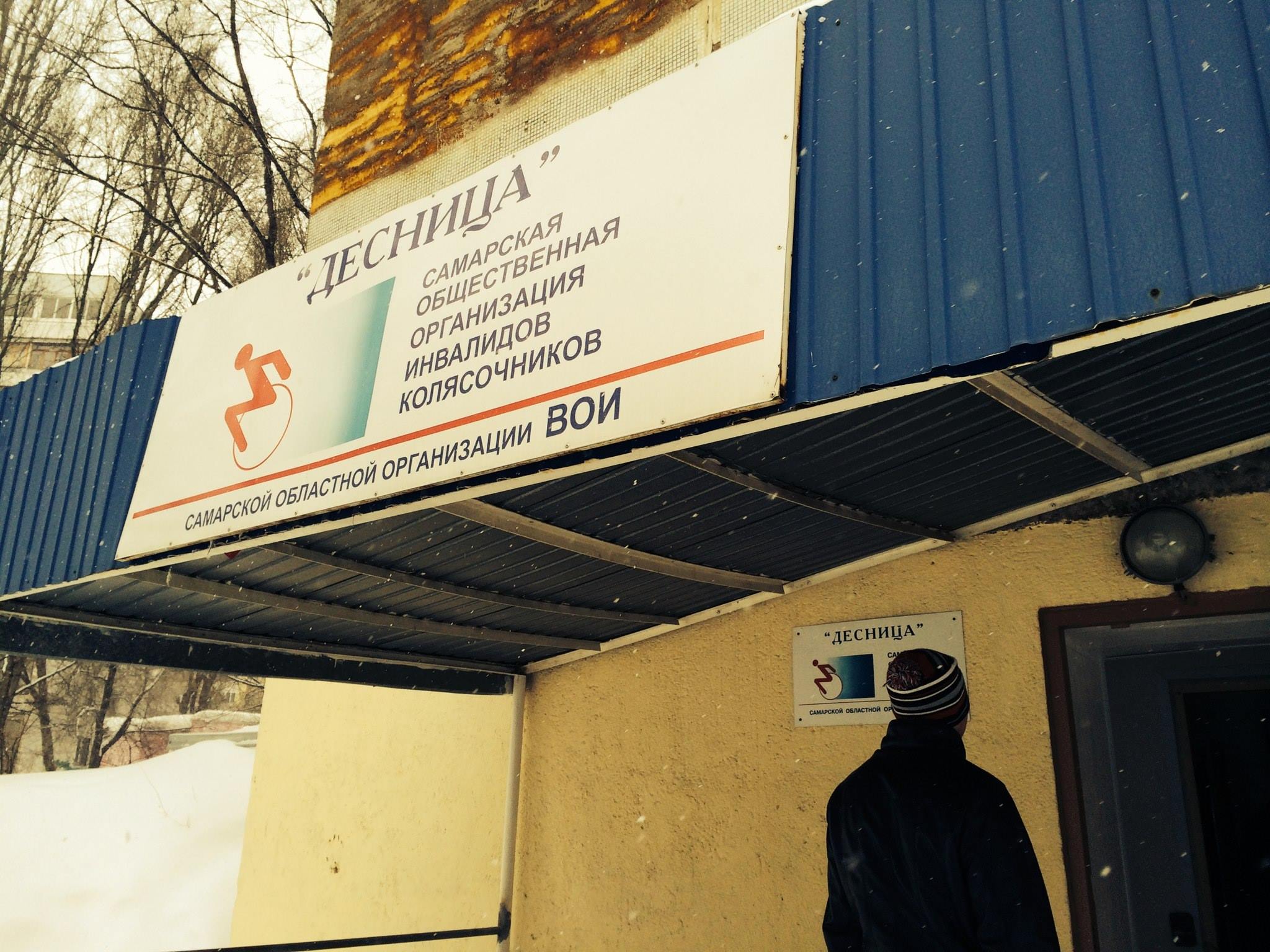
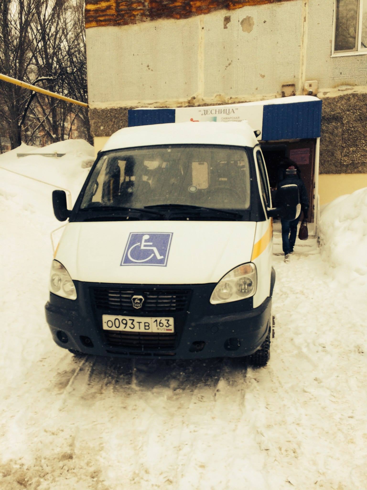
Hear are pictures of the real thing using tools.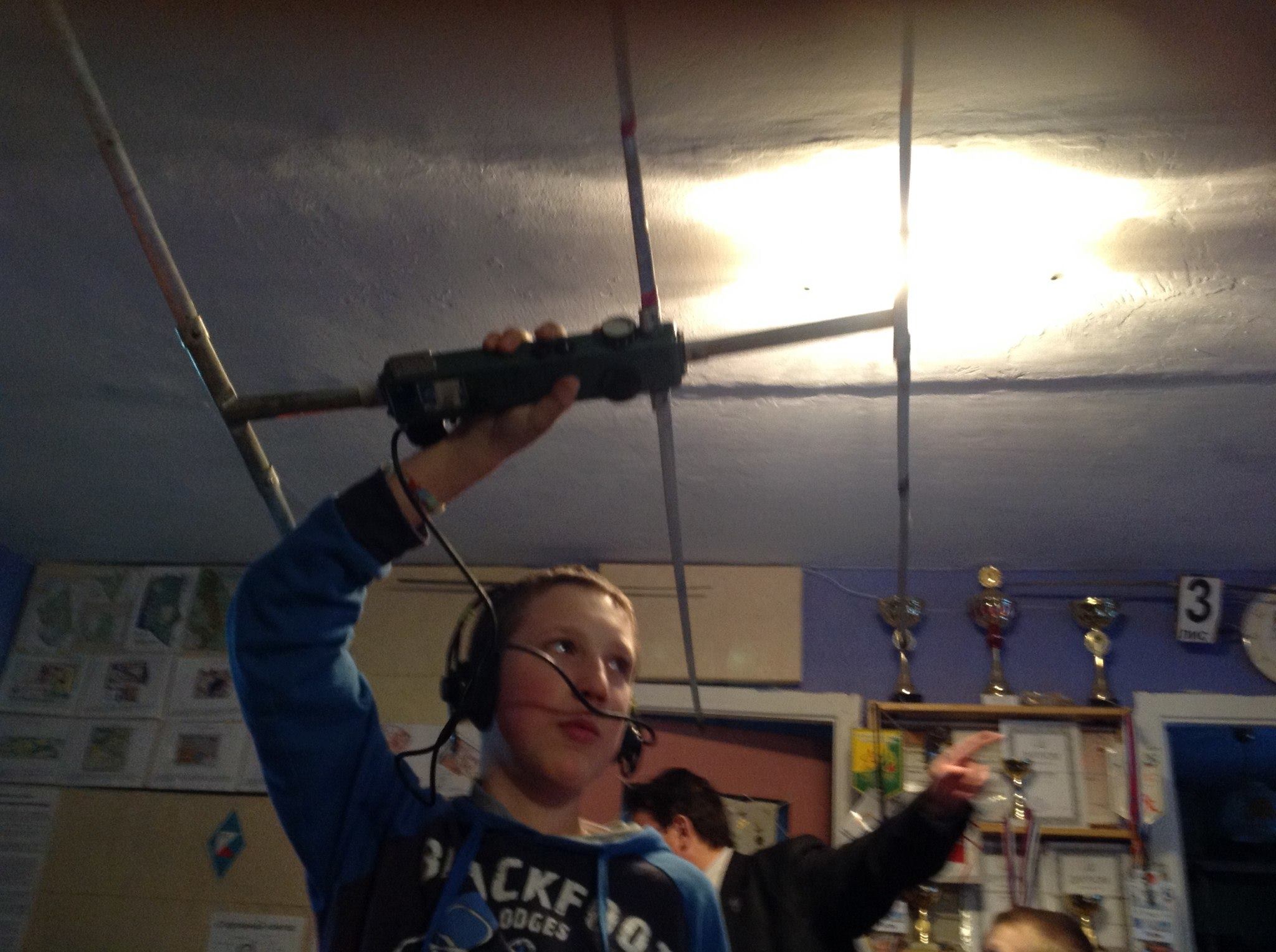
From Russia with orienteering tools.
What is GIS?
http://video.nationalgeographic.com/video/science/technology-sci/gis_journey/
A geographic information system (GIS) integrates hardware, software, and data for capturing, managing, analyzing, and displaying all forms of geographically referenced information.
GIS allows us to view, understand, question, interpret, and visualize data in many ways that reveal relationships, patterns, and trends in the form of maps, globes, reports, and charts.
A GIS helps you answer questions and solve problems by looking at your data in a way that is quickly understood and easily shared.
Map Your Passion. Transform Our World.
We’re passionate just like you. Geography is at the heart of a more resilient and sustainable future and allows a deeper understanding of how we can positively impact the future. Together we can transform our world.
Features
Tell Your Story
Inspire action, connect with the public, and reach donors by telling your story with maps. Quickly combine location data, text, and multimedia to build interactive apps that highlight your work and advance your mission.
Monitor and Evaluate
Manage your operations, examine their efficiency, and provide transparency to donors. GIS provides operational awareness throughout your organization and analytics that support your decisions.
Collaborate with Others
Share your maps and data on your web pages, blogs, social media, and custom apps. ArcGIS Online gives you an easy-to-use and intuitive workspace for collaborating with others inside and outside your organization.
From Edutopia
Student Work: Street-Tree Inventory
Luis and his peers in the 4-H Tech Wizards program used personal digital assistants (PDAs) and geographic information system (GIS) technology to collect tree data and generate computerized maps for the City of Hillsboro Planning Department.
http://www.edutopia.org/digital-generation-technology-data-mapping


